Natural Resources and Climate of Fort Churchill State Historic Park
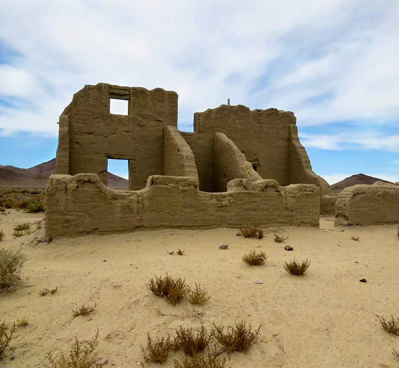 Fort Churchill sits at an elevation of 4,250 feet and is flanked on the south by rolling desert hills and higher areas of the Pine Nut Range. Churchill Butte, reaching an elevation of 6,250 feet, rises to the north and is the closest mountain. The Carson River originates in the Sierra Nevada Mountains to the west. The river forms the major water resource in the area and is the only perennial source of surface water near the park.
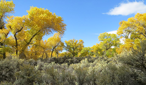
Three distinct plant communities cover the park. The first and most diverse is the floodplain river terrace community. The most common vegetation is big sage, cottonwood, greasewood and ricegrass. The riparian community occurs along the Carson River and is dependent on the course of the river and the water table level. Typical species are rushes, sedges and willow. The third plant community, upland scrub, lies north of the Carson River and consists of sparsely vegetated slopes. Species include low sagebrush, squirrel tail and bluegrass.
The wildlife at the park is typical of the Great Basin desert. Wild turkey, mule deer, bobcat, coyote and fox enjoy this habitat along with a variety of birds and reptiles.
Summers at the Fort are hot with daytime highs of 94˚F and nighttime lows of 58˚F in July. Winters are cold with occasional snow.